

Begetting Google Earth
Begetting Google Earth
Armchair adventurers make significant discoveries

Today in 1893, Cornele B. Adams was awarded the first US patent for aerial photography.
His method of photogrammetry could produce a topographic map by means of photographing the same tract of land from different points from an unmanned stationary balloon on a tether.
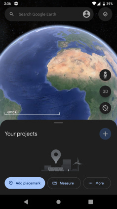
Keyhole, Inc. launched the Earth Viewer application in 2001 and was acquired by Google in 2004. Google Earth was launched the following year. In September 2011, when Google Earth has reached 1 billion downloads, Keyhole co-founder Brian McClendon reflected on the democratization of geographic discovery:
There was a time when explorers spent and risked their lives in search of new geographic discoveries. When we launched Google Earth, we made geographic discovery accessible to anyone with an Internet connection. Armchair adventurers have made significant discoveries using this tool and can claim to be explorers in their own right… Using Google Earth and Google Maps is a way to contextualize our surroundings and create a richer view of our place in the world.